



El Tala II

Flat-topped hills and ravines of the north-east

Explore

Since

2022

Location

Tacuarembó

393 ha

Protected ecosystems

4

Category

High Conservation Value Area

About the reserve

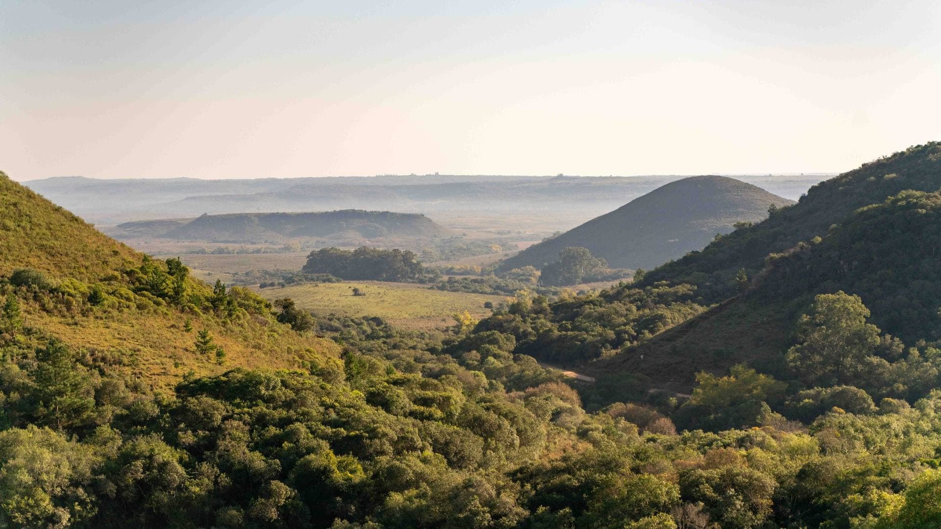
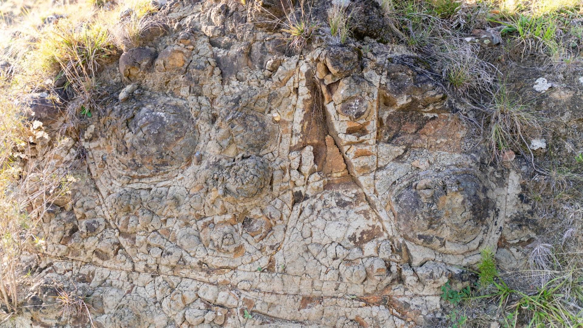
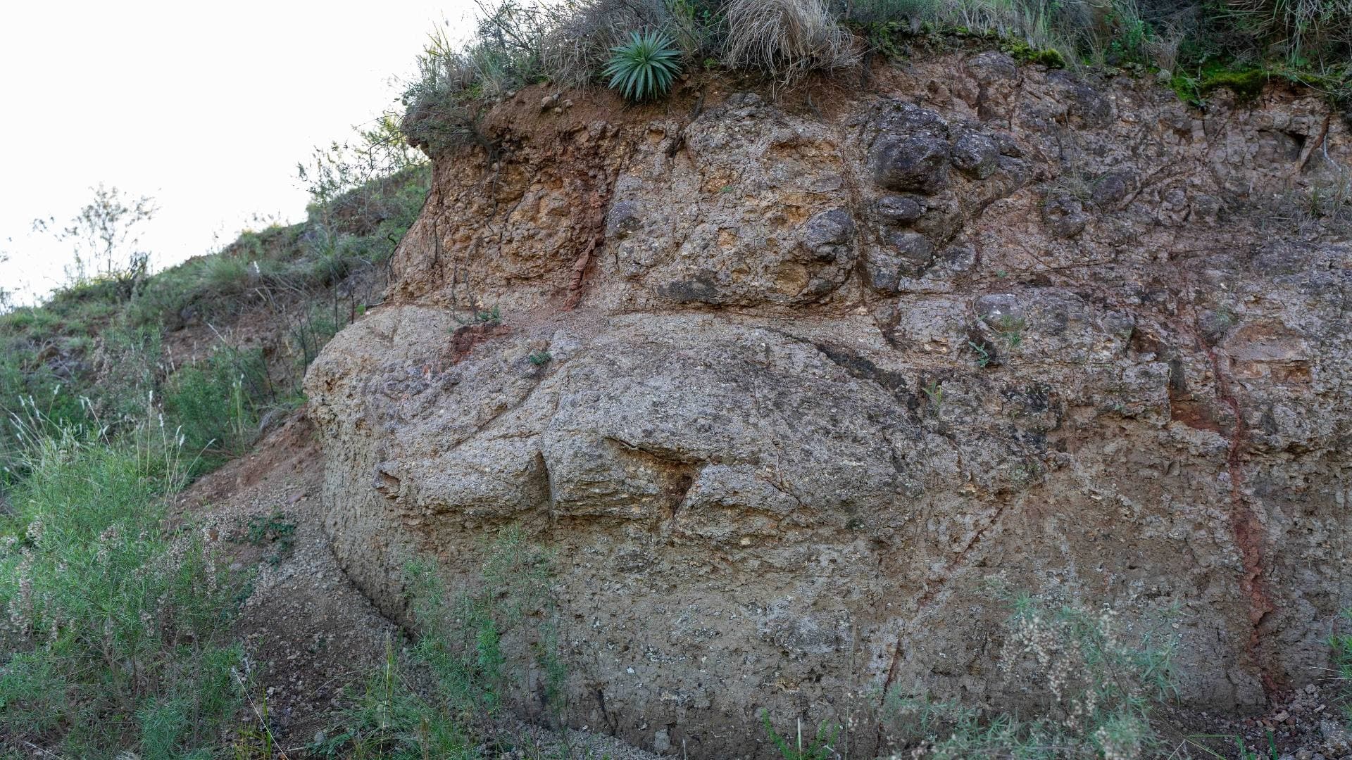
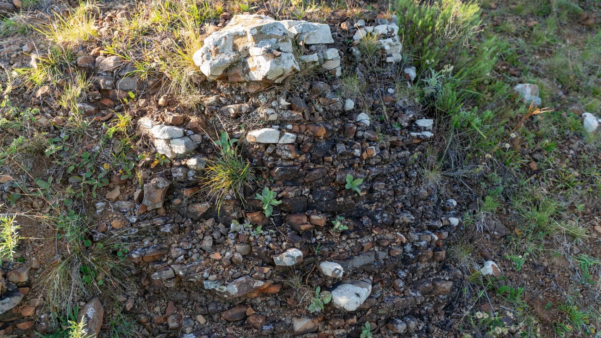
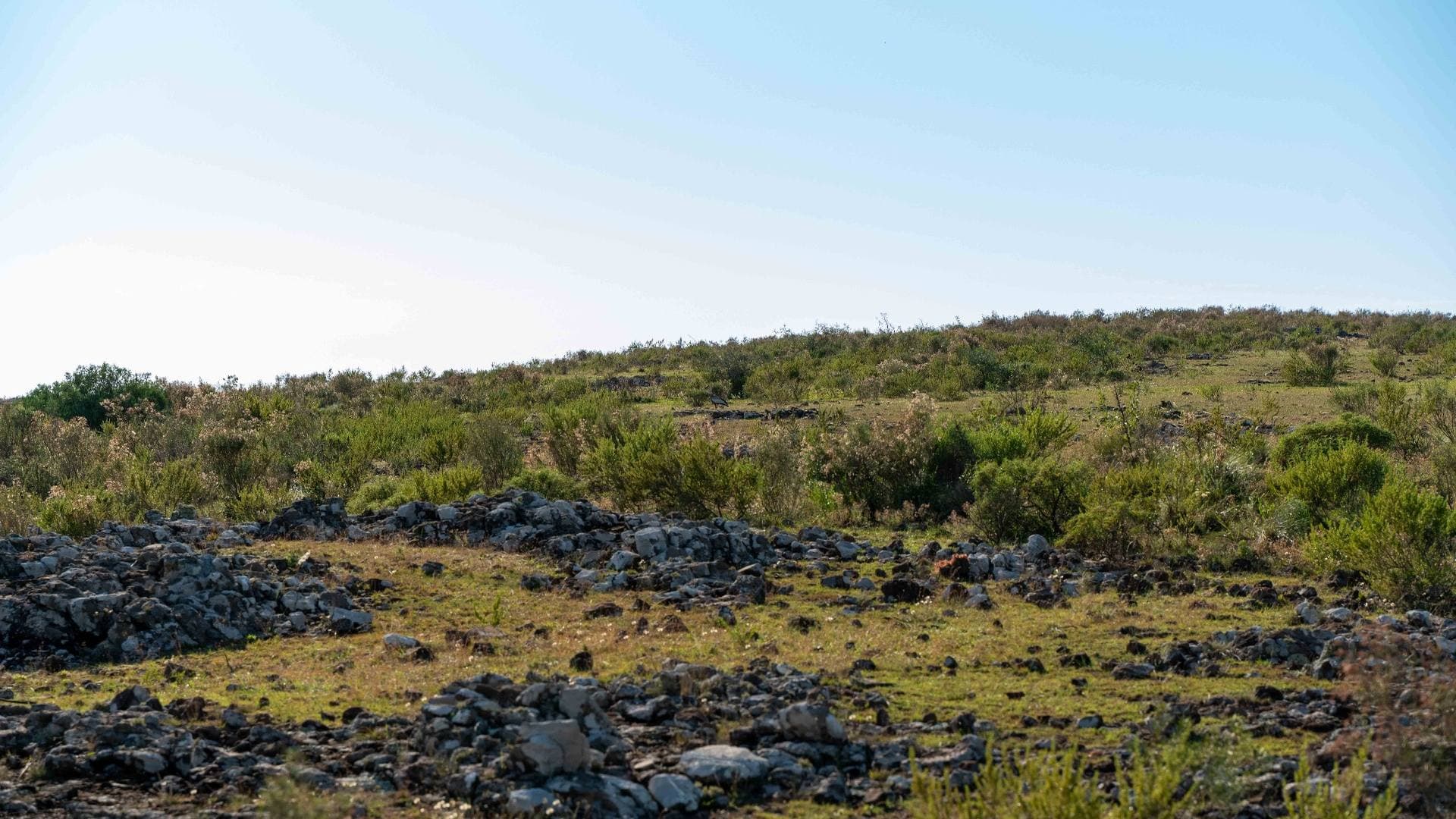
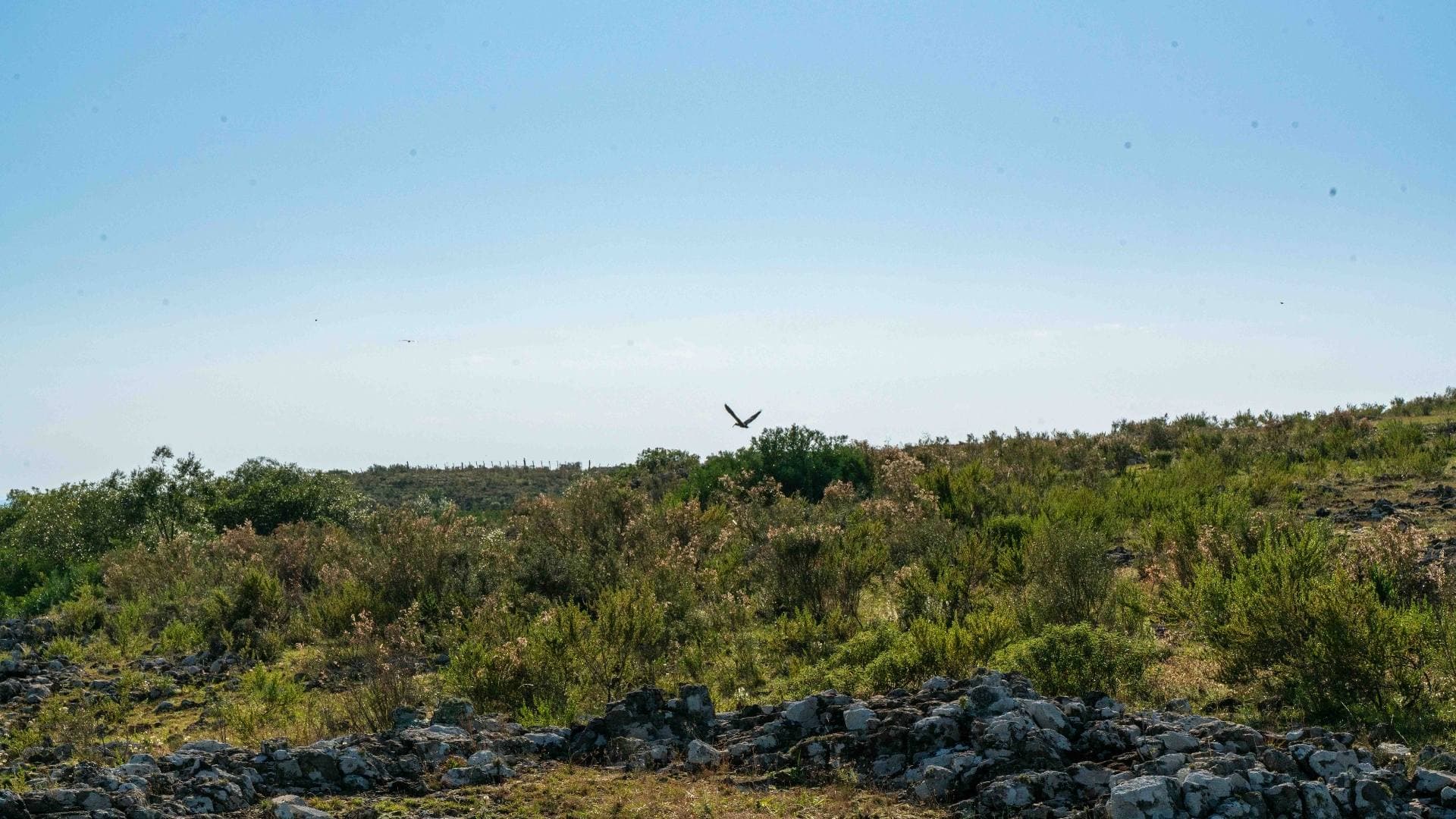
It comprises the flat-topped sandstone and basalt hills typical of north-eastern Uruguay, together with their associated vegetation and scenic beauty.

Camino a Laureles-CañasView on map

This reserve does not welcome visits

For conservation reasons, this area is not open to the general public.

Would you like to arrange an educational visit? Get in touch

Key features

Flat-topped hills and ledges

Vegetation associated with flat-topped hills and sandstone ledges, a singular landscape of the Northeast

Endemic species

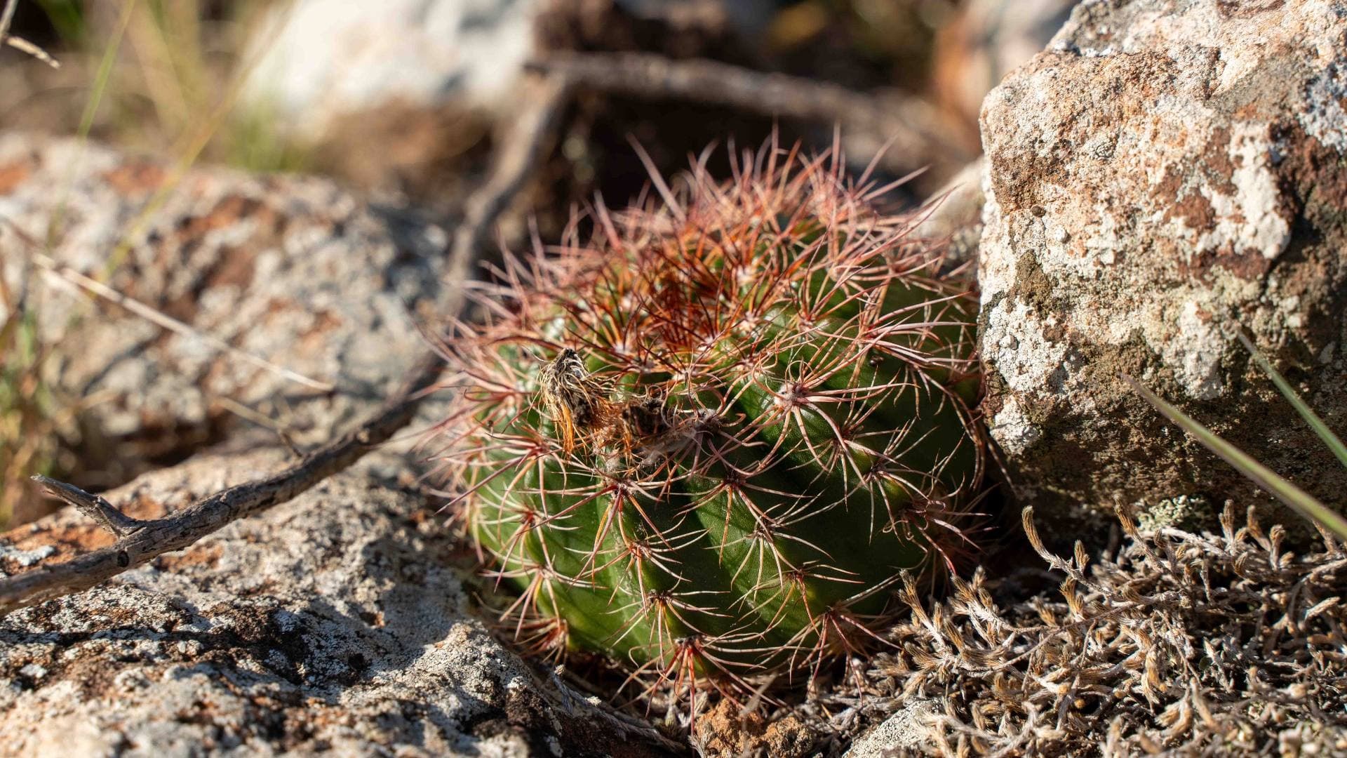
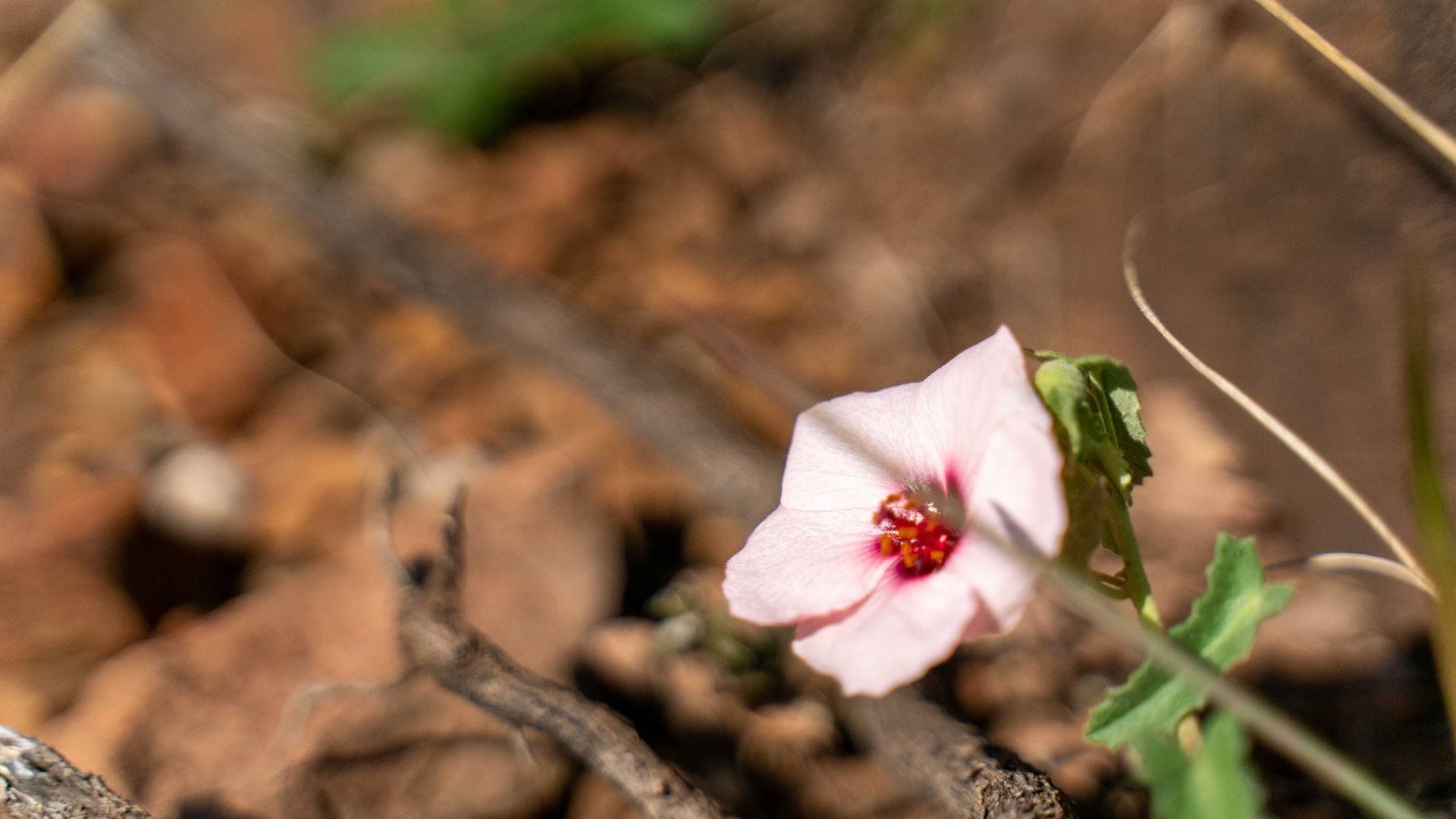
Endemic plant and animal species and species with restricted distribution

Invasive species control

Active control of invasive woody species to preserve native ecosystems

Livestock management

Managing stocking rates as a tool for conserving the landscape

Biodiversity recorded in El Tala II

568

Flora species

33

Flora prioritised for conservation

72

Birds

9

Mammals

4

Reptiles

5

Amphibians

2

Priority tetrapods

Test what you learned about this reserve

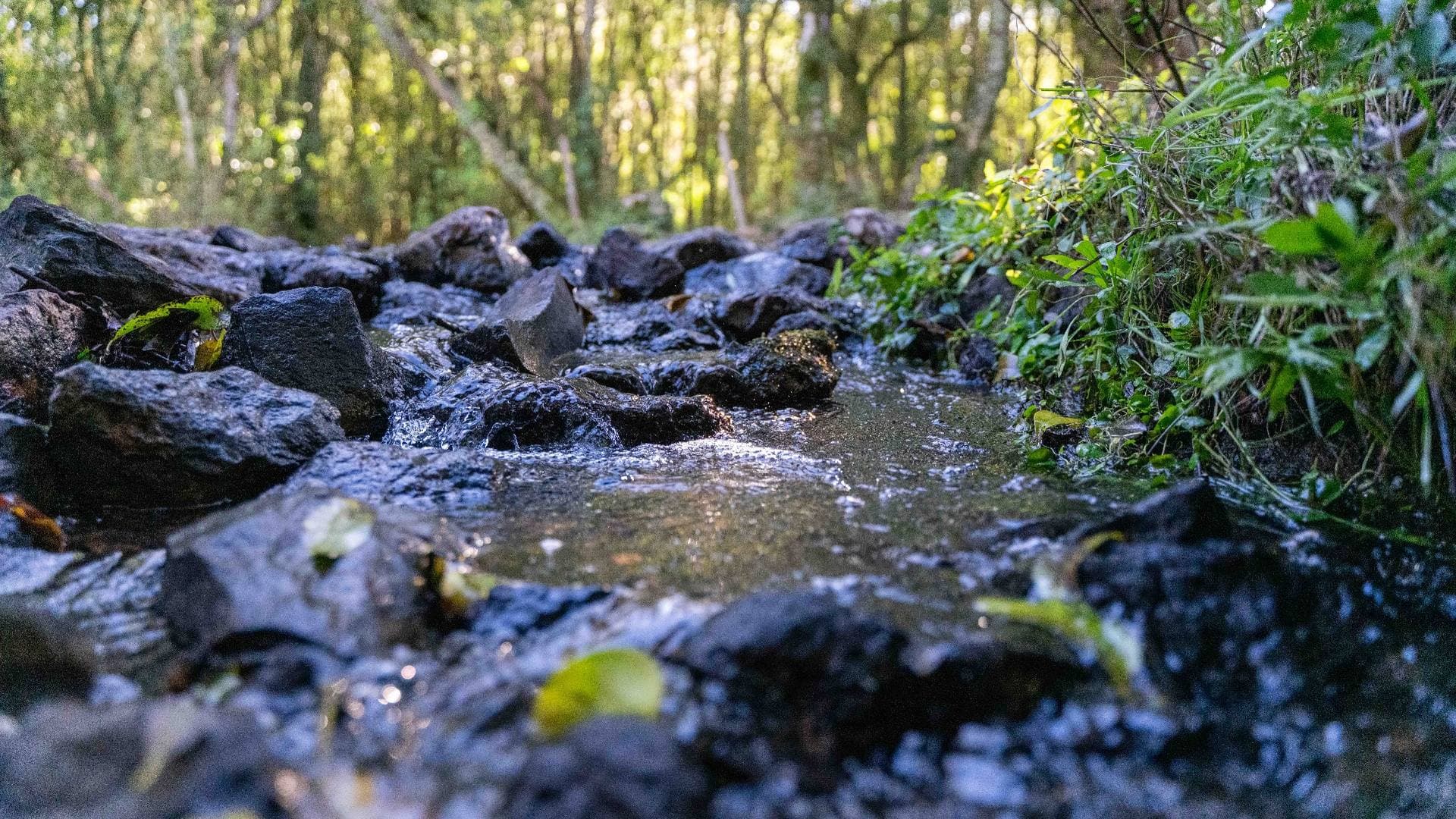
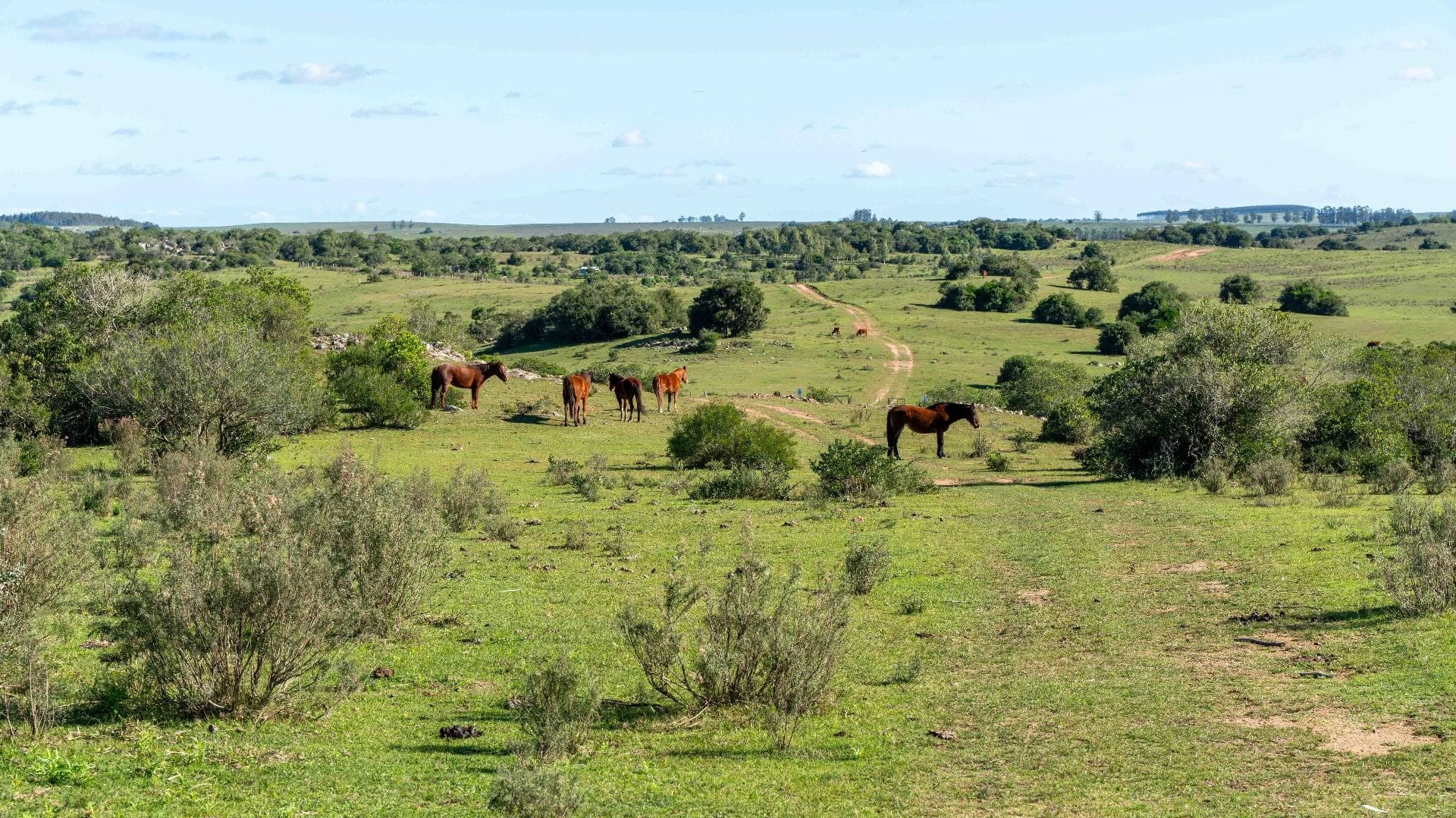
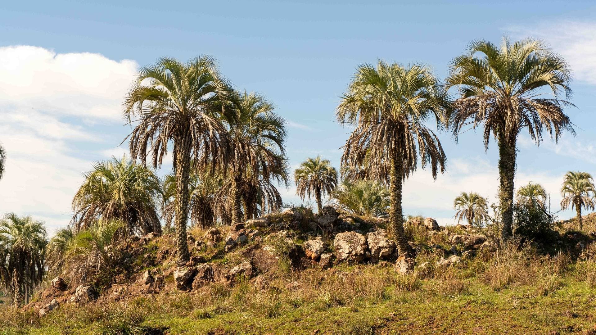
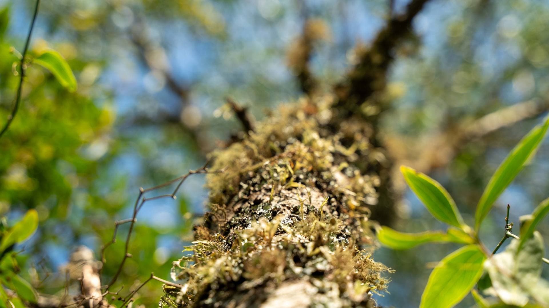
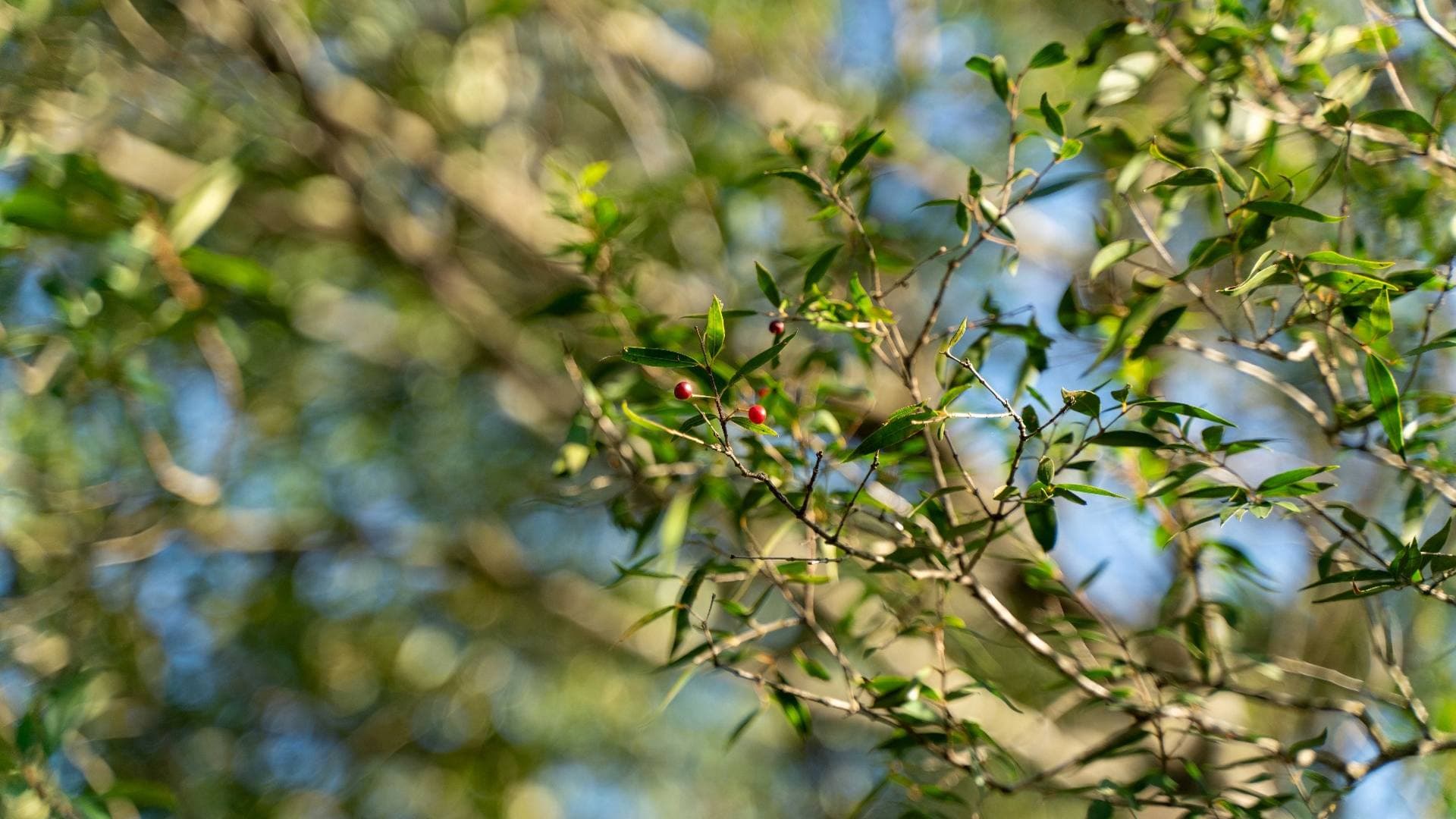
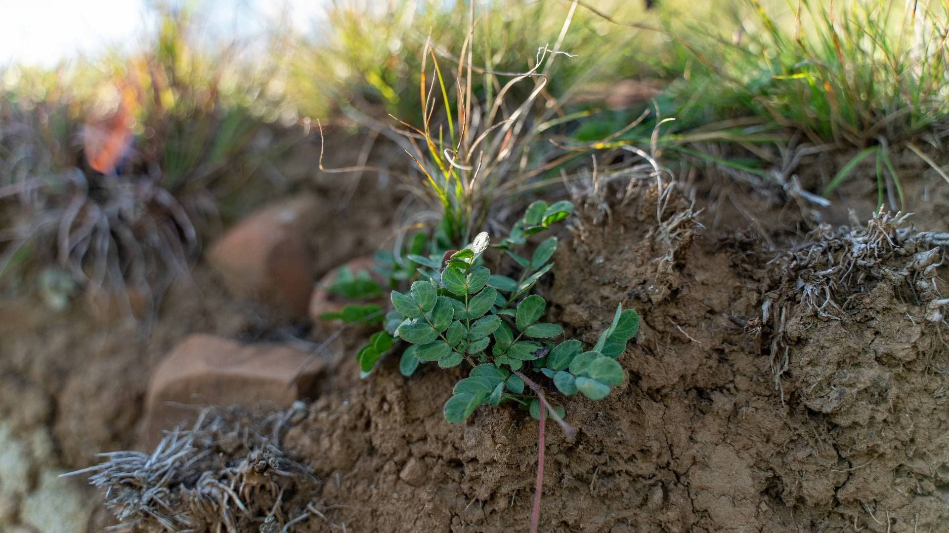
El Tala II in pictures

Landscapes and biodiversity of this reserve

Explore more about this reserve